
On May 7, several areas in the region experienced widespread street flooding and some isolated structural flooding. The folks in Kingwood once again were hit hardest. There was widespread street and some structural flooding. Much of the flooding was due to both the extraordinary amount of rainfall and poor maintenance by the City of its drainage infrastructure. But the worst concentration of structural flooding occurred in two subdivisions, Elm Grove and North Kingwood, Forest and raises other significant issues about how new development affects flooding.
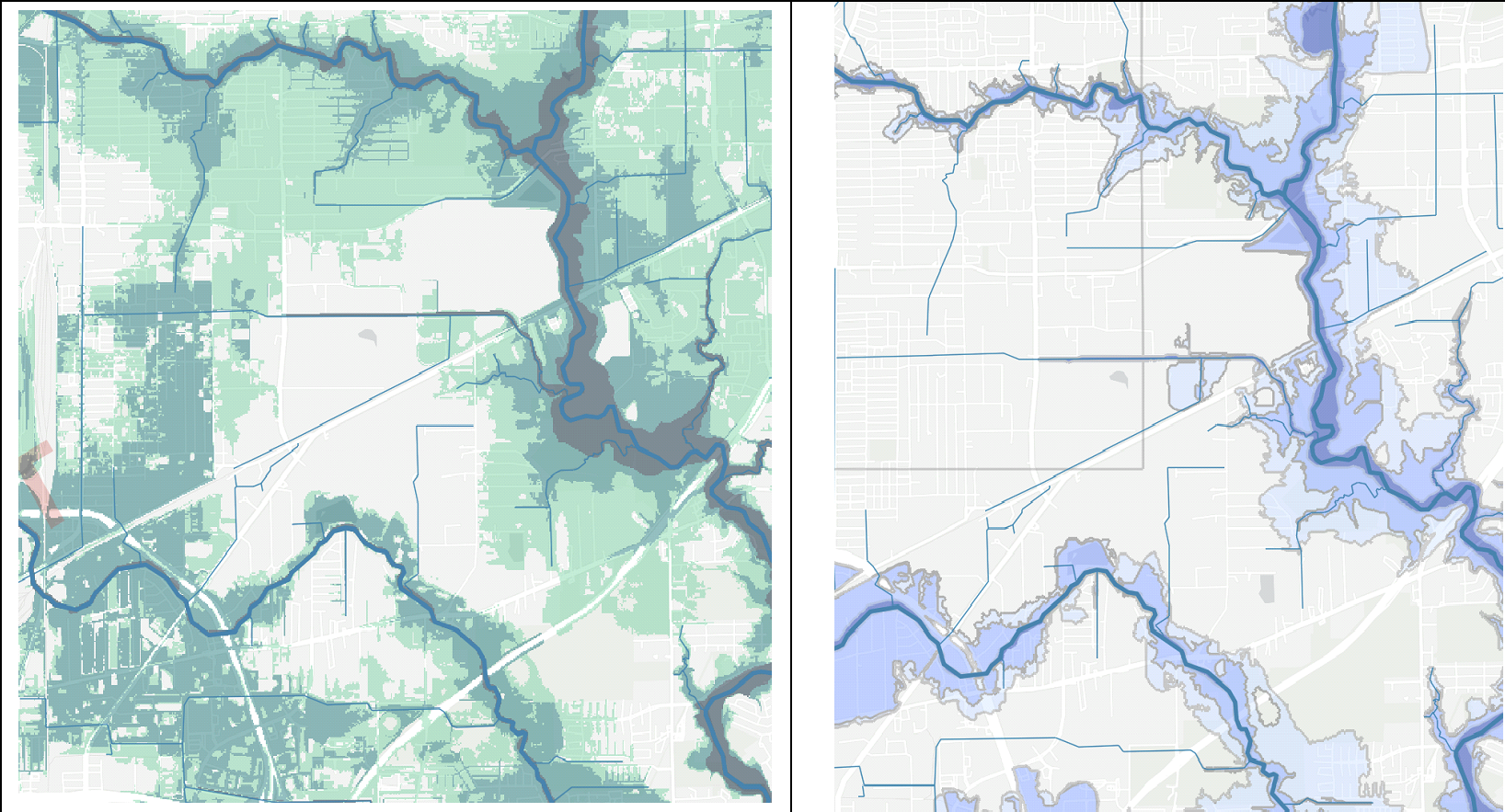
Recently, a new development was started immediately to the north and west of these two subdivisions. Prior to the start of the development, the land was heavily wooded. Stormwater flowed from north to south and west to east through this property into Taylor Gully. There was a man-made drainage ditch that ran along the northern edge of the property and a natural creek along the southern edge. This is a satellite photo of the property before it was cleared. The blue arrows indicate the natural drainage pattern before the start of the new development.

The developer clear cut the property and filled in both the ditch and the creek. As Bob Rehak has shown with a demonstration, the clear cutting of the property alone increased the runoff.
It also appears the property previously had a slight ridge running down the middle to separate water into the ditch and the creek. The developer, however, regraded the property to force the water toward the southern boundary. The removal of the ditch, which served to direct the sheet flow from the additional vacant land to the north on the area that was clear cut, allowed more of the flood water to flow south into Elm Grove instead of being directed into Taylor Gully.
Near the eastern end of the development, the developer built a new set of culverts that appear to be intended to direct flow from the property into Taylor Gully. The problem is that the top of the control structure is at least four feet above the surrounding ground.
It appears to me that culvert structure actually became an obstacle to the water getting into Taylor Gully. The result was that the water began to flow around both sides of it. The water that went to the south was channeled into Elm Grove subdivision as it cut the corner to reach Taylor Gully. The stream that went to the north of the structure took a swing through the houses along the western edge of North Kingwood Forest before making it back to Taylor Gully. [Bob Rehak has identified at least one additional blockage that contributed to the water not being able to flow to Taylor Gully and further documents that the water flowed through the subdivisions into Taylor Gully and that the subdivisions did not flood from Taylor Gully being overtopped. Click here for this post.]

The rainfall on Tuesday was extraordinary, but it is clear that the work the developer did made the flooding in the area much worse. Most of the residents got 12-18 inches of water in their homes. These homes had never flooded before, not even in Harvey.
This flooding incident touches on many of the issues we are confronting with our flood policy today. Let me mention a few.
Jurisdictional Confusion. It just so happens the northern boundary of the Elm Grove subdivision is also the Harris-Montgomery County border. So, the new development is in Montgomery County and must be platted there according to its rules. But the development is also in the City of Houston extra-territorial jurisdiction and must also be approved by it. I found where the City’s Planning Commission approved the preliminary plat on the subdivision in March 2018, but I have yet to find the final approval. The preliminary plat was approved on a consent agenda with no discussion.
Part of the City’s approval process is to review and approve the drainage plan, to make sure that the development does not flood nearby properties. What the City did to ensure that took place, if anything, needs to be reviewed.
This incident also, once again, raises the need to consider a more regional approach to flooding.
Interim Effects. I am curious to what degree the plans approved by the City required the developer to protect surrounding properties during the development process. In other words, even if the drainage would have protected surrounding properties when it was completed, does the City examine the potential effects before it is completed? One engineer told me that there absolutely should have been a berm built along the southern border to protect the adjacent homeowners.
Aside from just the flooding, the development caused numerous other problems for the residents in Elm Grove. There was no erosion control, so mud and sand were constantly inundating the subdivision even before the May 7 flood. Also, large construction trucks and equipment were using the residential streets in Elm Grove for ingress and egress to the property, causing damage to the streets and a mess in front of residents’ homes. The residents told me they have made many calls to 311 about these issues and gotten no response.
Flood Insurance. It appears that all of the homes that flooded were either in the 100- or 500-year flood plains. But several residents I talked to were unaware of that, and one told me his home had been reclassified in the floodplain after he bought it. Some of those who flooded had flood insurance and some did not. Here’s the bottom line on this one, folks: If you live in Houston, buy flood insurance.
Do not rely on what anyone told you when you bought the house and, for that matter, do not rely on the flood plain maps to make your decision about passing on flood insurance. The flood plain maps are wildly inaccurate and very large areas have never even been mapped. Also, it takes years to update the maps, so changes, like clear cutting an adjacent tract, are not taken into account. Don’t take a chance. Buy the insurance.
Use of Eminent Domain for Detention. Both the City and County have the power to use eminent domain to acquire properties to be used for detention and greenspace. Both are very reluctant to do so. Of course, it can be costly, but one might also suspect that the cozy relationships between some developers and our elected officials, fostered by generous campaign contributions, might also explain some of their reluctance.
The roughly 90 acres that have now been clear cut would have been a great greenspace and detention facility for our region. Prior to being purchased by the developer, it was in an almost wild, natural state and its ability to retain storm water could have easily been enhanced without destroying its natural beauty. Its value, according to the Montgomery County Appraisal District, was about $400,000. The City collects more than that in drainage fees every two days.
No one likes to see someone’s property purchased against their will, but sometimes it must be done for the greater good and I think we are going to have to be more aggressive in using eminent domain in the future to protect our residents and businesses from flooding. I have recently seen other examples where this should be considered in Timbergrove and Westbury.
But here is the real bottom line. The causes of and remedies for flooding are complicated. There are no silver bullet solutions. Passing ill-considered, knee-jerk “solutions” like the 500-year+2 ordinance Council adopted last year gives the false sense that we have done something to solve the problem, when, in fact, we have barely scratched the surface.
Every flooding incident is unique. To understand flooding, you must get on site, walk the ground, and look for the signs of what happened. You cannot solve the City’s drainage problems by going on an international junket and giving a speech at a gala. You have to put on your boots and get them muddy.
If that is the kind of mayor you would like to have, join our campaign at BillforHouston.com.


.png)
.png)